What is Google Earth?
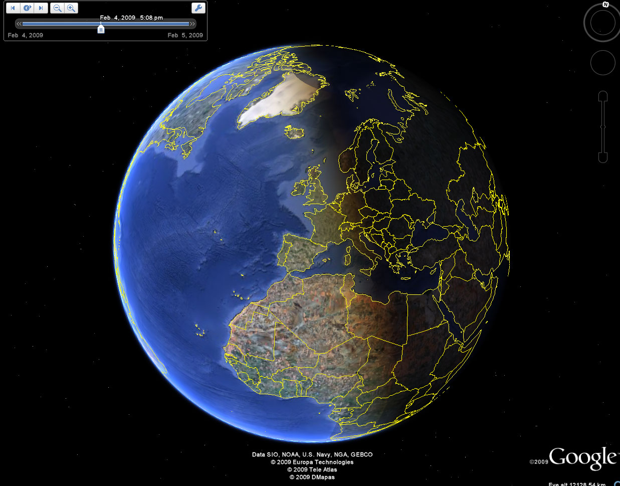
Google Earth is a feature within Google that shows 3D and real visual representation using images collected from satellites. What is especially cool about this feature is that people are able to see any part of the world, just as the name of the tool suggests. This tool is accessible through the web or can be downloaded as an app!
Overview
Check out this quick video from Google to see how mesmerizing the visuals are. It almost feels as if you are there in person.
Significance in the Classroom
This feature is an amazing tool that could be used by teachers in a wide range of subjects. From history courses to world language courses, the possibilities are endless because of this amazing feature. When students learn during their world language courses, teachers could use this feature. Aside from culture, significant landmarks and familiarizing oneself with the environment enhances the experience of learning a new language. Furthermore, instead of using paper maps during history courses, teachers could use this feature to show students significant landmarks that they are learning about.
The Google Earth tool also includes a historical imagery feature. This feature is explained further in the following video.
Lastly, one of the best features in enhancing successful global collaborations is that this feature is free. When I was browsing through this feature, it almost felt like I was in the place at real time. This will allow students to explore the globe right from their computer screen! It will allow them to get exposure to different parts of the world instantly without having to book a flight!
Thank you all for checking out my blog! I hope you all will use this wonderful tool when you begin your careers as teachers. Don’t forget to follow me @nitharul !
Nitharul,
I really enjoyed this blog post about Google Earth. I have used this website many times throughout school, but usually just to cure boredom rather than for educational purposes. I wish teachers had used this in the classroom, though. It definitely would have been easier to point out certain cities or artifacts on here rather than a paper map. Teachers could also use this as a fun educational game. They could ask their students to point out a famous city/artifact on the map (for example the Eiffel tower) and give them prizes if they were correct. There is a similar game out called Geoguesser which uses Google Earth for the same purpose. Thanks for sharing!
-Jolene
Hey Nitharul,
I did a blog on Google Earth in classrooms too. I was not as familiar with Google Earth before doing a little research on it. Initially, Google Earth seemed like a great tool for history and social study classes. As a history major, I think it would be a great practice for me to use Google maps in my future classes. There are so many features in Google Earth that can help students learn more about areas that are being studied in class. What really shocked me was how Google Earth can be used in all subjects in schools. Math, science and literature educators can have their students interact with Google Earth in many ways that align with class content. I am very happy to have learned about how dynamic Google Earth is and what role it can have in education. Thanks for sharing.
From, Joshua