Home » Uncategorized (Page 5)
Category Archives: Uncategorized
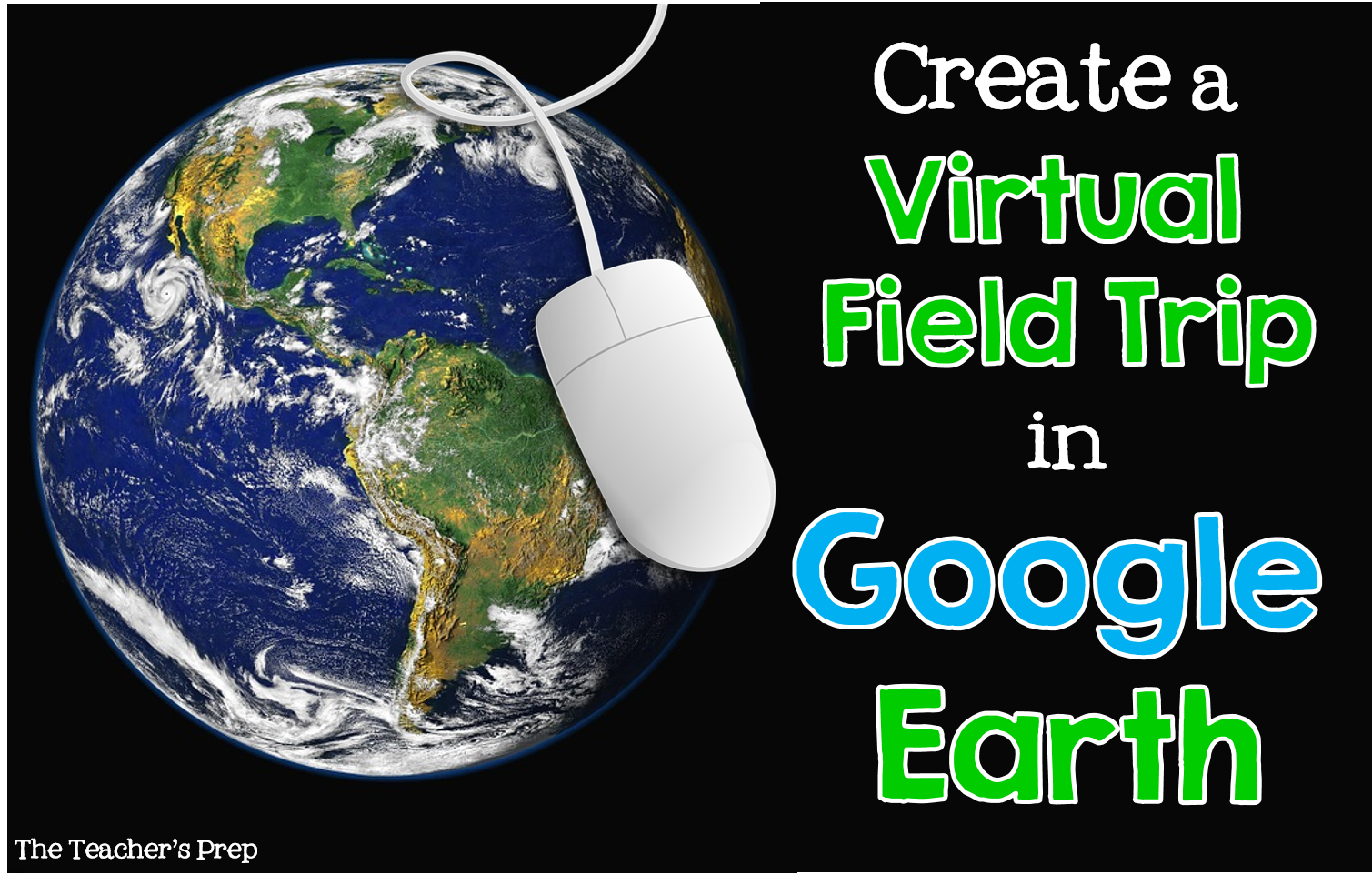
Augmented Learning Curve

Learning curve of the Future
Well, where do I get one how does it work? a compatible Samsung Galaxy device acts as the headset’s display and processor, while the Gear VR itself acts as the controller, which contains the field of view, as well as a custom inertial measurement unit for adaptive use. This device was made as an alternative collaboration to the oculus quest which is famous for gaming. This allows the user to have a virtual experience in a multitude of ways.
How could we utilize this in a learning expeince?
Here we are able to use google earth tours as a platform for learning. With the use of google tours you can learn about many different subjects such as diverities of formations, cities countries and now even space. you could use information to create projects such as the change of ecosystems, climate and infostructures. Using google earth and Maps in a VR application in a classroom setting could help visulize the whole world in a different perspective.

Abstract concepts of Learning
The possiblities of learning foreign concepts through a VR tour is endless. This could allow students and Teachers alike to vizulize abstract concepts in a way that a cut and dry text book could ever teach you. Some of the best Educators in the world will agree that the best knowlege is gained through expeiences. Classrooms could begin to fathom concepts with the whole world as there templete. This could allow the students to relate what they learn to there daily studies, lives community and planet.
Google Cardboard
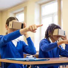
This week we got to choose a reality in the classrooms. I chose to explore the Google Cardboard. This is a great activity for students to use while staying in the classroom. They get the chance to explore and see the 3-D pictures while staying in the classroom. This tool is easy for all students too use and they can have fun with it. It is nice and cheap to get for a classroom full of students, it is only $9 each.
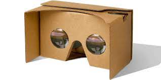
Google Cardboard is easy to use and can use any app from the App Store. Students ca visit zoo’s, parks, space and any other place they imagine. Students will be able to expand their imaginations. This will allow students to be able to fully understand the topics that is taught and fully comprehend the “what” and why” questions during a lesson. Some students are visual learners and this will help those kids succeed.
Instead of just reading books and looking at pictures, students can use this tool to visually see and feel like they are actually there. Students will be able to feel more involved and more interested in the lesson when they fully understand the lesson.
Exploring the World from the Classroom
By: Dara Sborea
In this week’s blog, we are exploring VR in the classroom and how it can contribute to successful global collaborations. I chose to research Google Cardboard. To be honest, I had never heard of Google Cardboard before. When I googled it, I thought it would be expensive and out of reach for many teachers and districts. I very happily found out that there are Google Cardboard goggles available for as little as $9 each. I’m sure that if I researched pricing even more, there are bulk price and educational discounts available as well.
There are several apps available to use with Google Cardboard. You can find all these apps on the Google Play Store. With these apps, your students can explore zoos around the world, space, the deep sea, and so much more, without ever leaving the classroom.
Youtube 360 videos are also a great tool for classrooms. They allow students to experience the sights and sounds of areas they may not otherwise have the chance to visit. One great Youtube 360 video I explored that I found fascinating on a personal level was of the Northern Lights in Russia. I have always wanted to visit Russia and I’ve always wanted to see the Northern Lights.
What are the ways we can use these tools in our classrooms to contribute to successful global collaborations? While thinking about how I wanted to answer this question, there were many ideas swirling in my mind. I thought about my major (French education). I thought about everything I’ve learned in this class (way too many things to list). And I thought about previous blog posts and assignments and what I have focused on in those. So for the purpose of this blog post, I’ve decided to try to pull all those things together.
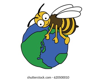
In previous blog posts, I’ve focused on the SDGs concerning zero hunger and good health and well-being. In those posts, I focused on food; learning French words for food, visiting French farms virtually, class trips to French restaurants. But how does the food grow? And how can we create a successful global collaboration while learning, through the use of VR, how food grows?
Let’s start with how crops are pollinated. Honey bees pollinate 80% of all pollinating plants and more than 130 types of fruits and vegetables. Let’s take a look at a bee’s journey.
With VR, instead of just reading about something in a book, our students can experience it. This gives our students real-time and real-world experience.
So how do we connect something like the video about into being a global collaboration? There are so many options. First, let’s talk about a lesson plan that would incorporate the above VR session.
Ask the students what the bee is doing?
(Turn and talk to your neighbor about what you think the bee is doing.)
Is there anything on the bee? What is that called?
Discuss Vocabulary:
Pollenation
Pollinator
Pollen
Pistil
Stamen
NectarSTUDENT INSTRUCTIONS
Students will turn and talk to a neighbor then answer questions in group discussion. Students will do this using all the French vocabulary they have learned until this point.
In order to incorporate global collaboration, students will Skype with their counterparts in a classroom in France. Those students will have seen the same VR video. At that time, students will begin to discuss the video, and they will also discuss what their respective countries are doing to combat climate change and what they are doing to save the bees, which will have a huge impact on the entire cycle of slowing down climate change.
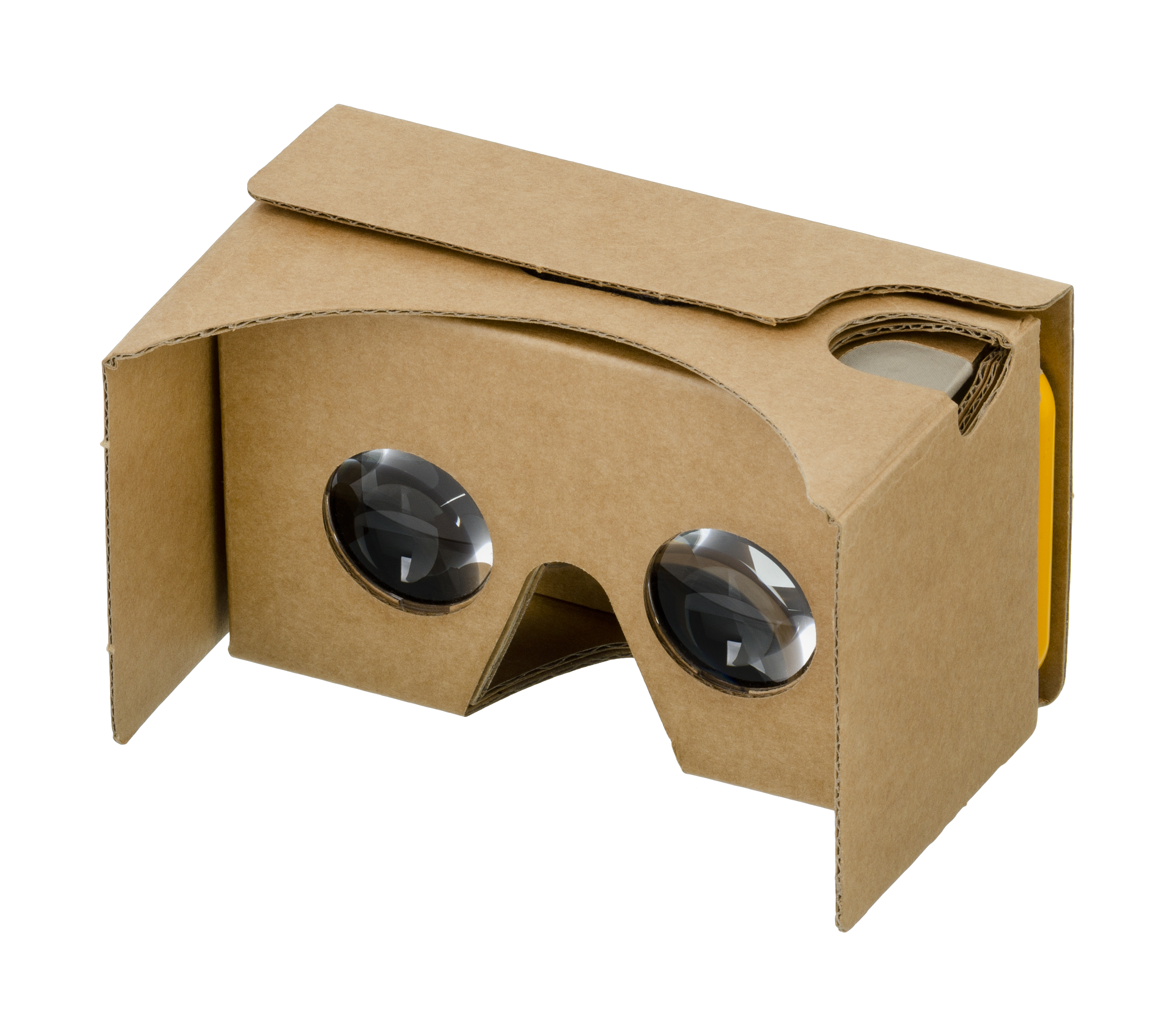
Google Cardboard- Blog Post #10
By Tatianna Competello
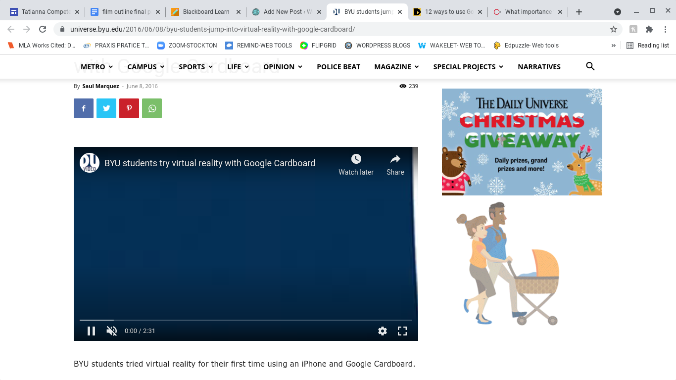
For our blog post this week we had the choice of picking a learning tool that can be used for virtual reality in classrooms. The tool I decided to talk about is called Google Cardboard. You may be wondering what this app is and how it works. This is an app where you can try virtual reality right from your phone, using Google Cardboard. This virtual reality headset is built from basic cardboard or plastic that brings the viewer in a video or gives them a 360-degree view of an image. It makes the viewer feel like they are actually in that location when in reality they are in the comfort of their own home or classroom. You can view pictures, play games, and experience virtual reality through a VR viewer that you can buy or make at home. This is a great and fun lesson to teach your students especially if you are teaching virtually. I added a video below explaining what exactly Google Cardboard is and how to use it in class. I think this is an interesting video and explains everything you need to know about this app perfectly. You can click here to watch it.
The first step to using this learning tool is to go to your app store and download the app.

When it comes to teaching students of any age reality can always be a challenge. One of the biggest problems being you are not face to face with the students and this can be make learning difficult. I think any app that will allow students to learn something new and be creative is the best lesson a teacher can teach. With Google Cardboard students develop creative skills and be in charge of their own learning. With this app you can teach students how to use virtual reality technology can be used to engage students in topics related to geography, history, or literature by offering a deeply immersive sense of place and time. For example, you can take the students on a virtual field trip and how the students watch the trip the whole time through the google cardboard they created with their phone. I found a very detailed and interesting link that examples several ways how virtual reality with google cardboard can be used together in a classroom. This link truly shows you so many reasons why you should use this app for teaching and learning. You can click here to find it.

Now you may be wondering what are some specific ways the teachers and students can use this in the classroom. To start, you can take the students on virtual field trips. With this, students can choose a place they would like to go to, based on the current area they are in during the class time. The students could all go to the same place if they want or different places, that part does not really matter. The students can look at this location through their google cardboard and then share with the class what they learned from this lesson as well as what this site looked like through the cardboard.
Another way the students can use this app in class is by watching 360- degree videos. There are hundreds of videos the students can watch and on almost any topic the students want to watch the videos on. Such as skydiving, sharks swimming or taking the children on a tour of a museum with history made in it. When it comes to teaching a specific lesson in class you can find a video of the topic you are teaching and have the students watch this video in class.
A very creative way students can use google cardboard in the classroom would be to let the students create their own projects or lesson plans. This can help students can a real idea of how to use this app and all the features that come with it. The best part about this assignment is that the students can make their own 3-D pictures and then share with the class their picture is and why they chose it. This also helps to improve students’ creativity skills. You can click here to see twelve fun ways the students can use this app in the class with specific details for each assignment.
You can watch this video below with students using Google Cardboard for the first time as well as their reactions. I thought this video fit perfectly for this assignment. You can click here to watch it.
The last part of this discussion is to talk about how google cardboard can contribute to a successful global collaboration. According to the website creware.asia it states how “Virtual Reality creates an artificial environment with software. The artificial environment gets presented to the audiences in a way that encourages them to accept and believe it as a real environment. VR technology creates primary experience focusing on two senses, i.e., vision and sound.” One of the best traits that make google cardboard so successful is that students can go on virtual field trips around the world, and be able to see all these places just with their computer at home. The students do not actually have to go to these places physically. When it comes to global collaborations, as a teacher you can have your students interact with other students around the world by going on skype or zoom, and the students could even work on similar assignemts together. A great assignment would be to create a google classroom and then have the students come up with a lesson plan on how to use and create google cardboard and then show other students around the world how to use this, and share that experience together.
Virtual Reality in The Classroom
Tiffany Imparato
Keeping students excited and engaged in the classroom can be hard at times so why not put fun technology in with your lessons? The idea of virtual reality tools combined with lessons is enough to get any student excited to explore. I selected to check out the new Google Cardboard and explore how utilizing it could take teaching to the next level.
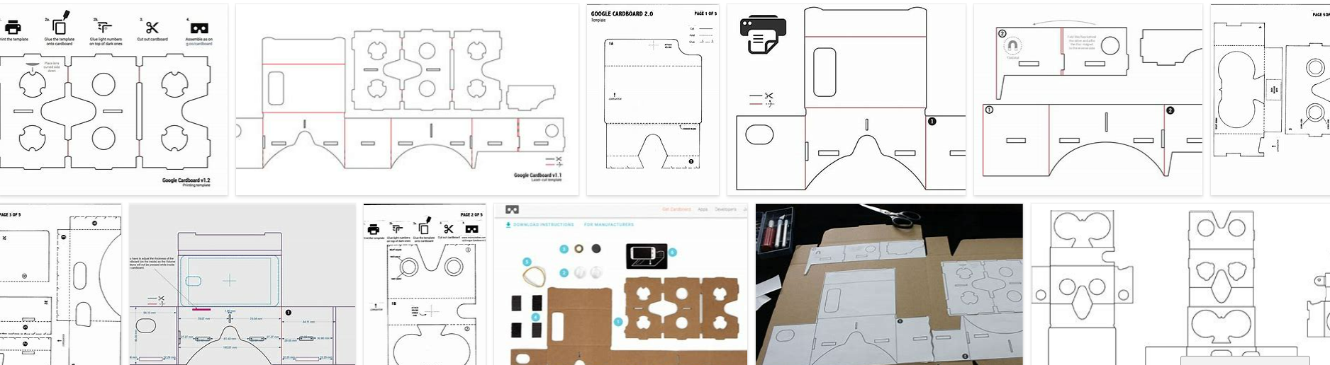
This is an extremely low-cost way to add great value to your classroom and introduce virtual reality to any lessons plans as students get drawn into their augmented reality. You can purchase low cost pre made cardboards through Goggle at very low prices starting around $8.00 or I found print out templates free after a quick online search. So, you can grab any cardboard lying around home or school and recycle it into good use. Remember teaching about recycling and using is highlighting one of our SDGs.
After completing the construction, it is time to head to the APP store and download the supporting tool to bring our experience to life. Beside the official app there are various platforms that also work such as You Tube so you can enjoy videos in 360-degree mode.
Wow just a phone, an app, and a phone gives students access to virtual experiences that can take them anywhere. Students can easily explore places beyond their imaginations such as other countries, space, national parks, the options are endless. The best part is that this is simple technology and can be applied in classrooms of basically any age or skill level with guidance.
Highschool students can use it to explore ancient ruins, middle school students can explore the solar system, elementary students can go virtually on safari. These can be used individually or all together on a type of virtual class field trip where students feel as though they are really there.
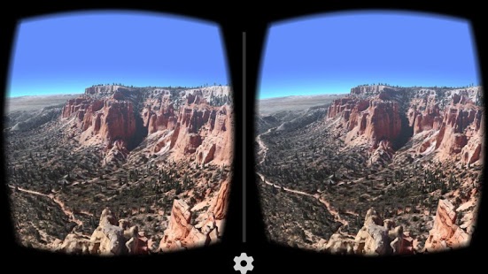
Here is an example when using it with Google Earth
The truth is this technology can be used to teach science, history, climate preservation, and in aid to encouraging students to become global citizens. The fact is this tech tool breaks the boundaries of the classroom and placing students virtually anywhere in the world.
National Geographic: Out of Eden Walk
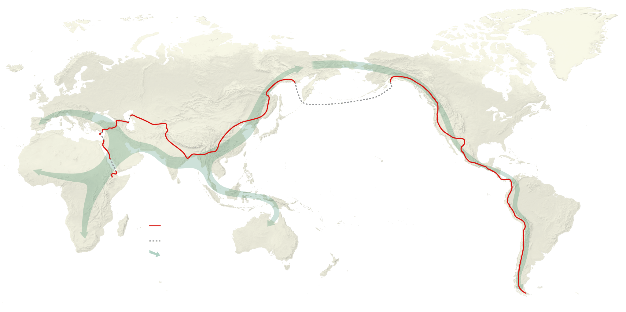
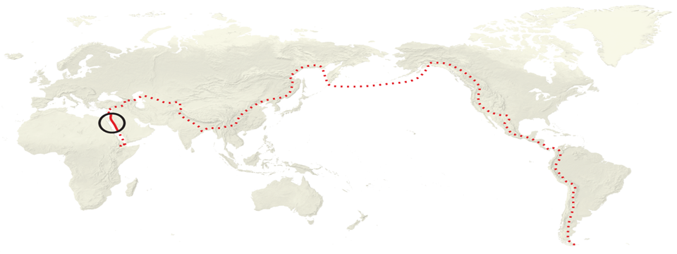
This week we followed journalist/explorer Paul Salopek on a 24,000-mile decade-long journey through time which he calls the “Out of Eden Walk.” Along his journey, Salopek retraces the steps of the first humans who migrated out of Africa during the Stone Age. This journey allows us to rediscover the world through his explorations. You can follow him on this journey as well through this link. Along his journey, Salopek explores various areas and speaks to the area’s people to learn untold stories. Each new report is a milestone, breaking the silence.
The Walk
This week we followed journalist/explorer Paul Salopek on a 24,000-mile decade-long journey through time. Salopek calls this journey the “Out of Eden Walk.” In Ethiopia, Salopek’s journey begins along what is known as the silk road takes him through many different places, finally ending at the tip of South America. Salopek engages in stories regarding the issues of climate change and technological innovation to mass migration and cultural survival by giving a voice to the people who inhabit them every day. Along his journey, Salopek retraces the steps of the first humans who migrated out of Africa during the Stone Age. This journey allows us to rediscover the world through his explorations. You can follow him on this journey as well through this link. Along his journey, Salopek explores various areas and speaks to the area’s people to learn untold stories. Each new report is a milestone, breaking the silence.
The Assignment
We chose three locations we discovered following Salopek’s journey in this week’s assignments. The three places I found most intriguing along the journey to reflect upon were Israel, China, and Krygyzstan. The first two places have always piqued my interest as places to explore. The last place I chose to reflect upon was new, but I found it quite interesting, as you will soon see.
Reflections
Israel
Chapter 2: The Holy Lands Salopek’s journey into Israel begins on the 423rd day of his Walk on March 29, 2014. At the start of his trip, Salopek comes across the Qafzeh Cave. Buried near the cave’s entrance is the skeleton of a boy. He is clutching the antlers of a red deer to his chest. According to the passage, this is the oldest evidence known of human burial. Salopek decides to take a route less traveled and explore to interact with locals and see many hidden or forgotten areas of Israel. They begin their exploration at the western edge of the city where the Bridge of Strings is. The bridge is a symbolic gateway facing the Mediterranean and walking counterclockwise towards Damascus Gate.
Renown for its biblical significance Jerusalem is an important pilgrimage site for those practicing Judaism, Christianity, and Islam worldwide. According to biblical scholars, the view from Old City was Abraham’s first view of Jerusalem. Within Jerusalem, Salopek travels along with many different cities where he comes across many artifacts, tombs, and archeological sites mentioned in scriptures. Some of the places visited included Mary’s Tomb, the Garden of Gethsemane where Christ prayed before being crucified, King David’s tomb, St. Vincent de Paul’s convent, and the Mount of Olives site of thousands of Jewish graves.
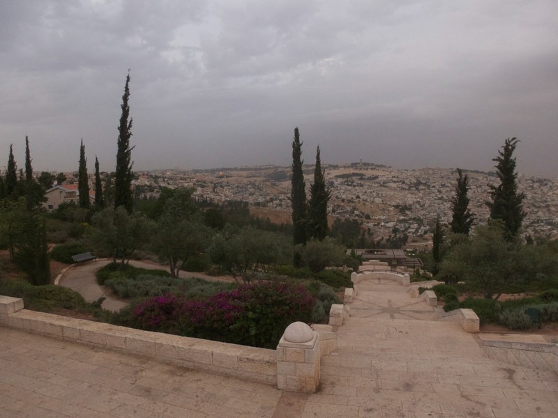
Recently Israel has been known for its Palestinian-Israeli War. In the divide between Jerusalem and Salopek meets many activists are looking to find peace. The people of Jerusalem consider the land as “nothing and everything.”
Krygyzstan
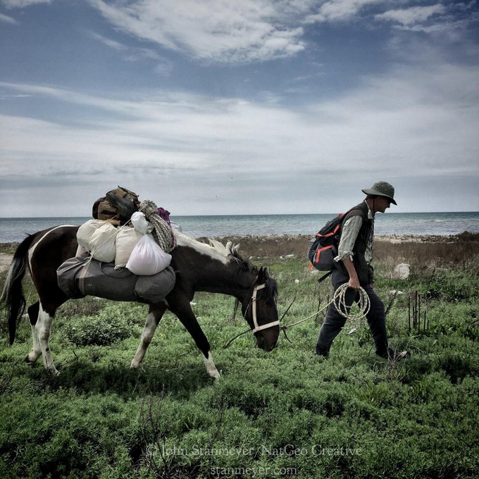
The next area I chose to explore was Krygyzstan. In Chapter 4 of the Silk Road, Salopek begins his journey into Krygyzstan, hunting the area of Tian Shan—the Celestial Mountains. The tallest peak reaches 23,400 feet. Salopek describes the wildlife found here and discusses how primitive people tracked prior.
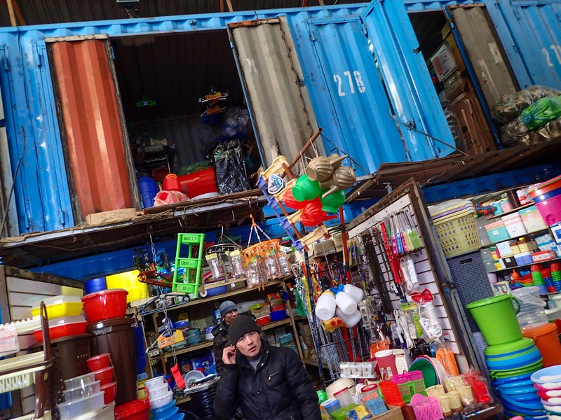
The journey leads us to Dordoi Bazaar, which I found fascinating. Tens of thousands of shipping containers make up one of Asia’s largest open-air markets located near Bishkek, the capital of Kyrgyzstan. This market is an array of merchandise where you can sell anything.
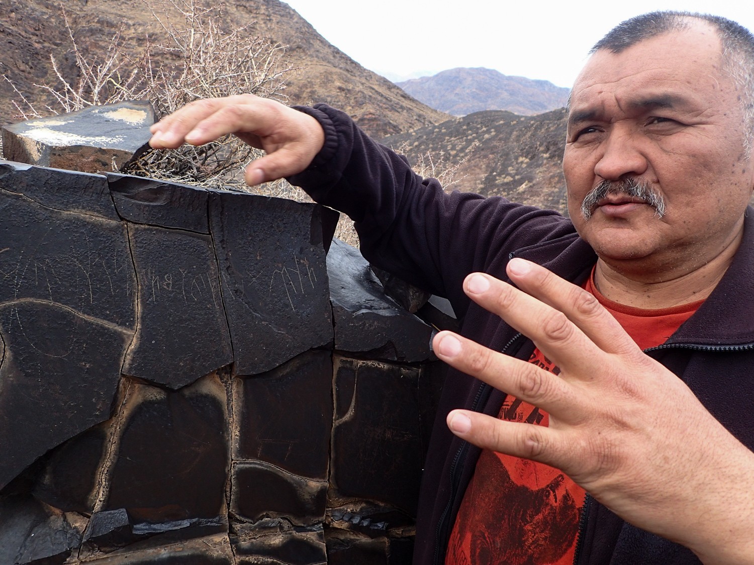
Salopek explores the petroglyphs carved into the giant boulders of Cholpon Ata. Issyk Kul, a slate-blue lake, and Cholpon Ata are considered the landmarks of ancient crossroads of migration and trade in Kyrgyzstan. Centuries ago, the lake provided a rest stop for travelers on the Silk Road. Today people come to see all the beautiful petroglyphs, which date as far back as 3,500 years. The most recent drawings are from Scythians, from which the legends of Amazons are from, which is neat.
Our final stop in Kyrgyzstan take us to Ak-Olan where a 14,000 year old Paleolithic workshop exists. Salopek learns about the history of stone blades and how the sharpest blade known to science is made of stone.
China
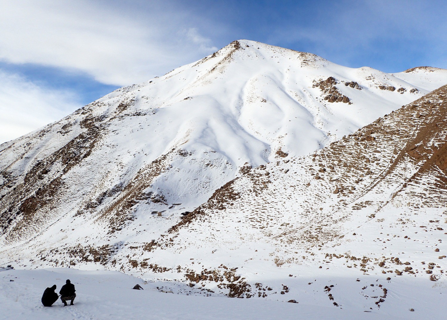
The final place I chose to reflect on was China. Our journey begins in Yuan, located in the Yunnan Province, southwest China. Such a beautiful providence that dates back as far as the Ming Dynasty. The beautiful landscape is so serene and lush with plants. At one time, 20-foot walls once encompassed the town of Tengchong. However, American bombers targeting the Japanese destroyed them during World War II.
While visiting the house of Kong Zhong, Salopek finds that he is a descendant of Confucius, 78 orderly generations removed. Salopek resumes his journey here after being forced into quarantine in Myanmar, stalling the walk for more than a year. Because of a coup in Myanmar, Salopek had no choice but to fly to China because he could not make it out safely on foot. This setback left a gap of 251 un-walked miles in the journey’s global route. At this point, he has traveled 7550 miles on this journey.
My favorite place on this journey has been the Gaoligong mountains. The Goligong is considered China’s hot spot of biodiversity. It contains almost 700 species of animals and over 5,000 plants. The views are breathtaking. If there is one place you wouldn’t mind getting lost for a little while, it could be here.
In Gaoligong, Salopek describes the zealous conservation ethic of Indigenous farmers living near the mountains. People say that “They look on the mountains as a parent. We should too.” Every year different species are found here. Salopek mentions that the UN’s Biodiversity conference is also happening at this time and that they have vowed to dramatically expand funding for programs that protect species and natural habitats across the globe. However, Salopek mentions that the US and the Vatican have not signed up.
To learn more about Salepek’s journey and to discover more places, you can follow him here on this link. Thank you so much for taking a glimpse into such unique sites. There is so much to explore, so quit wasting time and go.
Thanks for checking out my blog.
Bayta O.
Virtual Reality as a Classroom Experience
Virtual reality is a name that is used to describe a three-dimensional, computer-created world or environment that people can interact with. Virtual reality is a great technological tool to use in the classroom. The article, Cultivating New Levels of Student Engagement through Virtual Reality, shares that virtual reality helps with student retention by eliminating the detachment between students and and content through an immersive experience. The students in this article and video (posted below) use Google Earth simulations.
A memorable quote from this video is, “virtual reality… it provides… an experience anchor to the instruction that we can’t duplicate in another way”.
This form of teaching through virtual reality has endless possibilities. A good source for some lessons in teaching with virtual reality can actually be found in this New York Times article called Virtual Reality Curriculum Guide: Experience, Immersion and Excursion in the Classroom. There is a downloadable guide within this article that gives eight lesson ideas.
Virtual Reality is an incredible way to get students actively involved in subject matters if the resources are available. Fortunately, sites such as Google Maps and other virtual field trips are available for free when Internet is available.
Diane Hoffman
Virtual Reality
Google Earth Tours, https://earth.google.com/web/@47.38636818,0.68519617,52.26344a,28822.82001172d,35y,38.57565035h,0t,0r/data=CkcaRRI_CiQweDQ3ZmNkNWIzNGE5NzlhNTU6MHg0MGRjOGQ3MDUzODg0MzAZ5P35_nOyR0Ahj9iJndjp5T8qBVRvdXJzGAIgAQ, is a great virtual reality resource that can be used in almost any classroom. You can explore all different parts of the world and when you are on the website, it looks like you are actually there. If you click on the location, it searches the web for all of the information about that specific place. It can be a great tool for students who want to gain more knowledge on different places around the globe. If you are learning about a place in one of your classes, you can use google earth tours to pull it up and show your students. You can get the 360 degree view of the place that you are searching and it can be really helpful if you are researching that location.

In all, I think that google earth tours is a great resource for teachers to use in the classroom and can be really helpful in researching different places around the world.
Julie Barron
blog post Eden Walk
In my walk out of Eden journeys, there were a lot to be taken in, so many different landforms, people, objects, and feelings to be had. On my first adventure, I did the silk road chapter 4. This one truly spoke out to me considering the length of travel the journey was, along with all the different scenery. Ranging from the cargo ships to the Deseret and everything in between. Along the way, there was lots of history that were passed such as in the tomb that was passed where the rock/clay was carved into by a horseman. During the travel, the people that were seen were truly remarkable such as the Afgan cobbler that made pauls packhorse a harness. In the Airakty mountains, Kazakhstan they got to harvest steppe (milk protein) from camels. In Uzbekistan, there was a 300 dollar mastiff for sale at a roadside market. But strangely enough during the journey, the point of not seeing women were trending up until mile 4300. The silk road is seriously one of the most interesting and complex pathways for centuries.
On my next journey The Riverlands, the first stop was northern Pakistan where they watched families follow the rivers in the glacial valets of Karakoram, follow the water in order to find pockets of gold from the river bed, children, women, and families try to get as much as they can in order to live. A good day for them is a tiny nugget that is worth $40. Sadly the next stop I made was in Punjab, India, where my eyes were opened to the use of drug abuse by teens to numb the pain of everyday living. Most people want to escape their living situation and find something better due to such poor lifestyles and conditions. The next stop is Gwalior India, where the crime rate is so high the police put up wanted signs and will pay for weddings or medical bills if bandits are brought to justice. It is deeply saddening to see so much poverty and rough life in our world.
Lastly, Chapter 6/ Middle kingdoms, takes place is china focusing on all the history. My first stop was the Gaoligong Mountains, taking place near an old silk road trading town. These mountains are crammed with over 700 animal species, ranging from mammals to amphibians and everything in between. The rain that occurred would practically flood our cities, monsoon rains are an understatement. The landscape throughout this part of the journey did not vary much, very desolate, valleys and mountains. This piggybacks the fact of low populations, but insane amounts of animal life. The people they did see were definitely were interesting, for example, Yang a 74-year-old man who is a herbalist and hand rolls his own products. It truly is remarkable how other people live in such different scenarios than we occur in the US every day.
Out of Eden Walk
This week I was asked to explore National Geographic; this is about the site: Out of Eden Walk; this is the website if you like to view the information I will be writing. The pictures you see in this presentation are just a few places Paul has traveled to, but you can find many more places on this website. Within this site, you have options for viewing, and they are by chapter, location, language, and category, but I will stay with the option Chapter.
https://www.nationalgeographic.org/projects/out-of-eden-walk/#section-0
Paul Salopek is a journalist who has traveled the world and would like to take us on his adventure, named Out of Eden. The travel took ten years to complete, and he traveled 24,000 steps. In Chapter 1, he talks about leaving Africa.
Chapter 1 Milestone 1: Herto Bouri, Elevation 1809 feet
His walk started on January 22, 2013, at Herto Bouri in Ethiopia. His starting plan was to travel the areas of the world where people had fled too. He travels a distance of 24,000 steps and seven years. This travel will end in the year 2020. The people who walked away were hunters and gatherers. They had found fossils and DNA to date the trackback many years ago; specific timing was about 50,000-70,000 years ago. He had planned his path to get to his final destination, including some obstacles he would face, which you can see above.
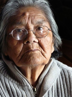
Before this journey, he flew to his final destination and met with a lady named Cristina Calderón, 84. Knowing she was an older lady and the last person who spoke, Hagan Paul flew to talk to her and hoped he would see her once again at the end of his travel. He looked to her words to carry him through his travels. She happens to be the last full-blood Yaghan speaker.
The next Chapter ad story to review is Chapter 2, The Holy Lands, Walking Jerusalem.
May of 2013 to July of 2014
You enter through om a Bridge of Strings to the great city of Jerusalem. To the residents of Jerusalem, their land is a source of confusion. They have from the least like parts to the most likable parts. The residents from there and the present people there are connected. The movements that he made were significant in this chapter. He traveled downhill to the Valley of the Cross, then went through the Holy Cross Monastery to the spot where the tree they used for the crucifixion grew. Paul continues on his travels because there is still nobody there.
Abraham’s first view of Jerusalem May 7, 2007 View of the Promenade
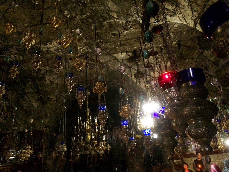
He leaves the area and proceeds to walk to the Mount of Olives. At the Mount of Olives, there is a place, Pater Noster Church which includes Braille in translation. The Orthodox play games late at night, specifically Backgammon. Towards the end of this section, you see and hear about the cemeteries being destroyed or preserved. We hear of a battle with Palestine about Mount of Olives. To this day, people still travel by camel. Mary’s tomb below is under the hanging lights underground.
Chapter 5 Goodbye to Myanmar May 27, 2021 Editors Pick
We cannot escape grief.
Before leaving Myanmar, he said goodbye to the people with who he stayed. He found these people to be very educated. They were training themselves to resist the government; their training went from bows and arrows to self-defense. Paul realized he had been on the trail of the people who invented bows and arrows. He goes on to explain not only did he follow the creation of bows and arrows, but he has also walked through war, was ambushed by gorillas in Turkey, and when going through Afghanistan, was delayed due to the Taliban.
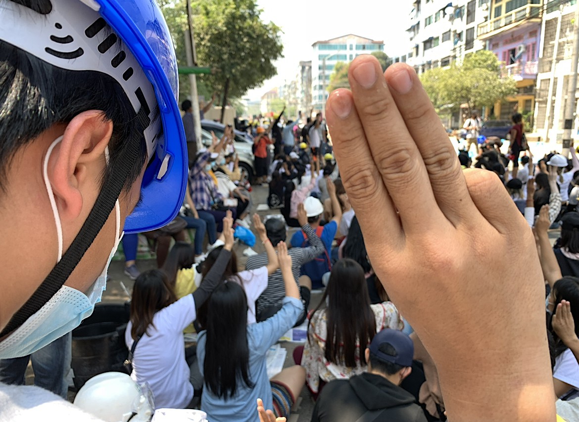
The forces in Myanmar have killed more than 800 people, including children. Journalists needed assistance as they were in jail, where executions took place; he decided it was best to leave Myanmar and track until he got to the Burmese capital. At this point, he reached 11,000 miles. In China, you can easily walk away, but the grief stays with you. With this, he had to worry for the people that he met there. The people patrolled the streets while this was happening; people talked very low about their desire to leave.
I chose these three stories as they left an impression on my thoughts. Paul went a long way to reach his goal, and he has completed his mission. He is gaining a wealth of knowledge and understanding. As Paul traveled, he knew that he wanted to see the lady again as she was older and had a feeling that may not happen. His travels took him through religious cities where he had respect for the people there; he shined some light into what was necessary to know and finally made his way to the goal he established for himself. Paul tells us the travel could be dangerous. At one point, he needed to take a plane even though he wanted to travel solely by foot. He allows us to feel, hear, and see what his journey has captured. We understand the Holy Land, but that is not from a first-person perspective. He goes into a more excellent knowledge of the areas he traveled to, which makes me very appreciative of his work.
Recent Comments