Tags: Be prepared, blondebuilttobalance, discoveryeducation, googleearthVR, googleVR, labster, pros&cons with VR, stemVR, Veactive, virtual reality, virtualrealityTUTOR, vr, vr in schools
Virtual Reality in the Classroom- My Reflections & Research

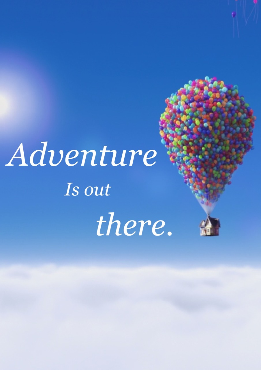
Virtual Reality- images and sounds created by a computer that seem almost real to the user, who can affect them by using sensors It is quite amazing to be able to visit locations, historic landmarks, beautiful world wonders, and go beyond the classroom walls with just the use of a digital headset tool. Google Earth has changed the way we view our world and brings us closer each and every day. It seems that the more breakthroughs we have with technological advancements the more it is becoming accessible for everyone to use and take advantage of the improved materials, now within
DigitalStory: My Florida Family Trip 2016
What is Digital Story Telling? Digital storytelling is a blend of video, audio, images, and text to convey stories, information, and ideas. My First Time using a Digital Storytelling Web Tool I explored Sutori’s site and managed to upload pictures, videos, links, and more to make my story more engaging and exciting. I thought it was a wonderful way to showcase ideas, thoughts, images/ graphics, and other informational visuals digitally. Teachers and students are able to comment, share, post, and edit their slides and data by copying and sharing with others. This is a great way for collaboration projects and for feedback
Reflection: Google Maps & Google Earth
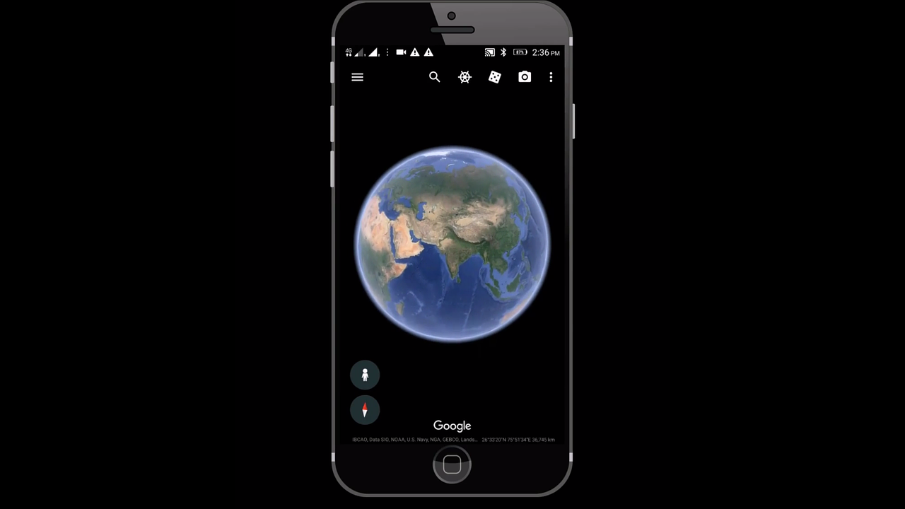
What is Google Maps and what does it have to offer? Google Maps is a web mapping service developed by Google. It offers satellite imagery, aerial photography, street maps, 360° panoramic views of streets (Street View), real-time traffic conditions, and route planning for traveling by foot, car, bicycle and air (in beta), or public transportation. Click the link to check out Google Maps Get transportation directions Creating a map Measuring distance and ETA Mixing maps information Finding your location Setting routes Getting traffic information Verbal instructions Location sharing Location editing How can you use this in your Classroom? Go on a scavenger hunt using Earth
Educational Technology Benefits for all Ages
September 13, 2019 Blog Post 1 My first ever Blog post, I am both nervous and excited. My research to find an Educational Technology or Global Collaboration article and responding to it; This had me thinking, about how and where to start. I took on this topic in three ways and pieced those three together. I decided to begin in a home setting where the parents/guardians are the first to engage WITH their children. Parents are the first to know how a child can learn different ways, listen for different cues, and communicate their wants and needs. If we can
-
-
-
-
/ 0 Comments