Reflection: Google Maps & Google Earth
What is Google Maps and what does it have to offer?
Google Maps is a web mapping service developed by Google. It offers satellite imagery, aerial photography, street maps, 360° panoramic views of streets (Street View), real-time traffic conditions, and route planning for traveling by foot, car, bicycle and air (in beta), or public transportation.
Click the link to check out Google Maps
- Get transportation directions
- Creating a map
- Measuring distance and ETA
- Mixing maps information
- Finding your location
- Setting routes
- Getting traffic information
- Verbal instructions
- Location sharing
- Location editing
How can you use this in your Classroom?
- Go on a scavenger hunt using Earth Picker
- You could use Google Earth for so many interacting, exciting, and interesting projects- for instance, you could use the points and the measuring tape to have the students’ solve Real Life distance Math problems.
- Want to check out Outer space in your Science class? Have the students check out the information tabs on the right-hand side of the screen and let them explore cool facts about the newfound location they are exploring.
- Would you like to have students learn more history, but allow them to explore current points on the map? For their history/ social studies courses allow students to explore lands unknown or that they are currently learning in order for them to visualize how far away or how close to home that location may be.
- There are so many ways Teachers can come up with fun, interactive, and collaborative projects using Google Maps or Google Earth.
- Can you share some of your personal lessons or ways you may want to integrate this type of Google platform for a school assignment?
When I used Google Maps for one of my assignments this semester, I was able to explore and find interesting places I have never heard of before. I am able to explore where my husband is while he is out on his deployment. I was able to explore future vacation spots that I would like to add to my bucket list. I was able to explore beautiful, natural waterfalls and some amazing destinations that I may never get to see first hand. I was able to look up one of the most expensive restaurants, and use the “Peg-Man” to get the Street-view or actual photo of the perimeter of the restaurant. I was even able to glance at some of my classmate’s explorations. For example, I was able to check out some of their “hot spots;” for example, some students in my class went underwater and allowed me to venture into the oceans. This platform can allow adults, children, teachers, businesses, and people of all over the world to come together and explore our Earth. There are so many ways we can benefit from this groundbreaking source of information, distance tracker, direction guide, image gallery, and video embedding resource. We are able to click on the restaurant and pretend we are eating the foods and experiencing the pressure below the waves.
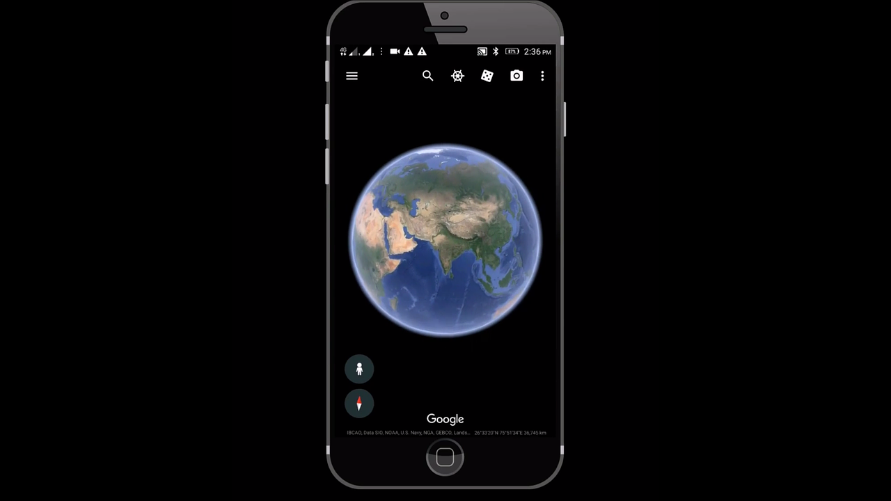
Google Maps Vs. Google Earth
Google Maps contains all of the navigation, lightweight mapping power and points of interest with just a small hint of satellite imagery, while Google Earth has complete 3D satellite data and just a small subset of information on places, without any point-to-point navigation.
Click the link in order to explore Google Earth.
I hope that you enjoyed this quick blog post about my thoughts, quick video clip, and tips for your classroom using Google Maps and Google Earth!
Check out the twitter link, video from Youtube, and tips listed above to enhance your knowledge about Google Maps and Earth’s features on their websites.
If you use this in your classroom, your daily lives, or want to start adding this into your life now, let me know how you do in the comment section below. Thanks!
-
-
-
-
/ 0 Comments