
Students at Stockton have a variety of ways to stay physically active. Some play on sports teams and others participate in intramurals. The I-Wing and Sports Center gyms also make it very easy for students to stay in shape and remain active. However, one of Stockton’s best kept secrets are the trails that crisscross the campus.
As a runner, I am always looking for new and more exciting places to run. The trails at Stockton are a combination of well-maintained trails, dirt service roads, and trails that lead to dead ends. One of my favorite trails is called the Four Mile Trail. It encompasses all the areas of the Stockton campus. The trail begins in between A-Wing and the Arts and Sciences Building. The trail forms a large loop that ends at the same starting location. The route of the trail is easy to follow because it is marked with posts (pictured below) that tell you the direction to go and how far you have gone. Whether running at a brisk pace or just strolling along, it is hard not to admire the beauty of nature. If you decide to go out and explore the trails, bring a friend along. It can be a little disconcerting walking or running by yourself in the woods for the first time. Also, get back to “civilization” before dusk; the trails get very dark at night.
One really cool way that Stockton could attract more people to the trails is by placing geocaching containers in certain locations. Geocaching is an outdoor activity that uses a GPS to find a hidden treasure by giving the player the coordinates of a nearby location. The player puts the coordinates into his or her GPS and uses clues such as pictures to find the treasure. Regardless, go outside and get active. Appreciate Stockton for all that it has to offer.
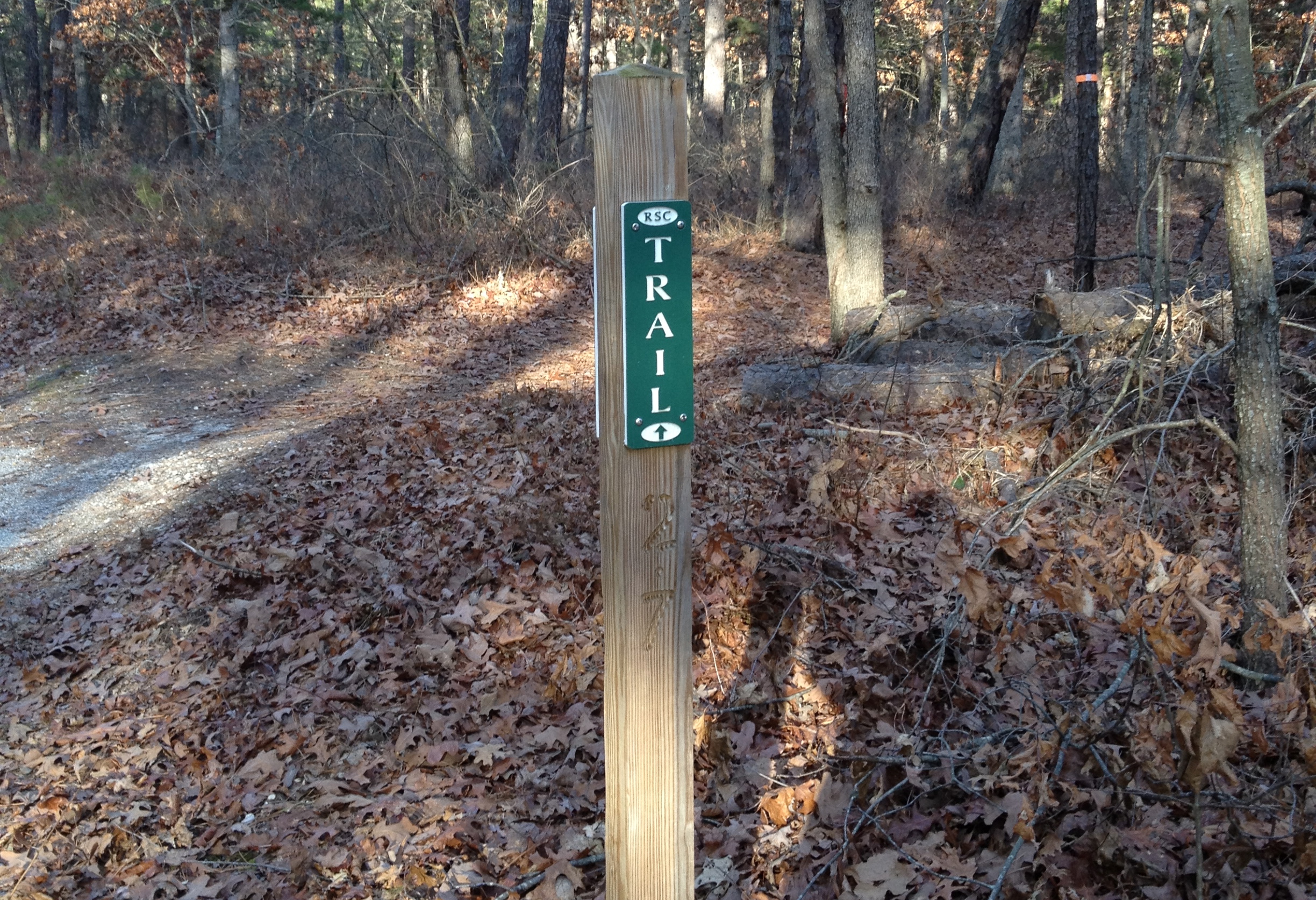
A Marker on the Four Mile Trail