I recently learned how to use the ‘My Maps’ tool in Google Maps. I have been using Google Maps for years but I had never known I could create my own maps! This blog post will focus on how to use Google My Maps and then how to incorporate it into the classroom.
Using Google My Maps
This is a quick and easy tutorial that I used to help me learn how to create my first map.
What I Created
From this tutorial, I made this map on places to visit in New York City. In my map, I added 2 base layers: one of the places I ate and another on places I visited. I think that my map can be helpful for anyone looking to visit NYC and does not know what to do or where to eat.
In the Classroom
Since maps are a fundamental part of life, I think it is also important to incorporate them into the classroom. With Google My Maps, standard, paper mapping activities can be taken to the next level. One way I think this can be done is by having students map where historical events took place. This combines geography and history and creates a hands-on approach while doing so.
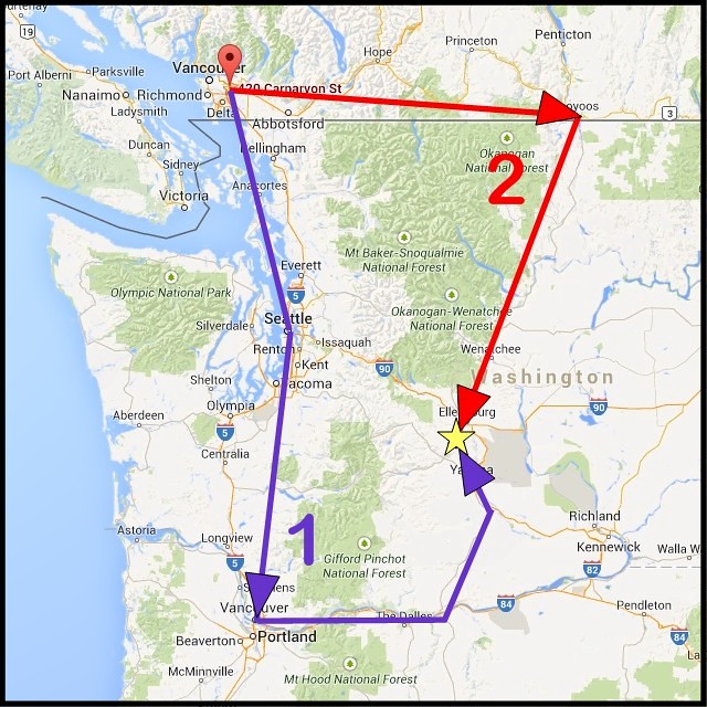
Another way to incorporate Google My Maps in the classroom is by calculating the rate of travel. Students can pin 2 or more locations then figure out how long it takes to arrive by walking, public transportation, car and more.
Overall, I think Google My Maps is a great tool for the classroom or anyone in general!
Thank you for reading my blog post! Feel free to follow my twitter @cooper_jenna1.