One of the best ways you can get kids more engaged in learning is by providing them with tools with which they can learn and have fun simultaneously.
Combining technology with learning can make for very interesting ideas on how to gain knowledge while also learning how to use technology.
A great tool I found for K–8 students is this interactive map by Asia Society that pulls together demographic, economic, and education indicators into data points that students can use to learn about the world.
This tool can increase the students knowledge about other parts of the world they might not be aware of.
They can figure out these stats through an interactive map:
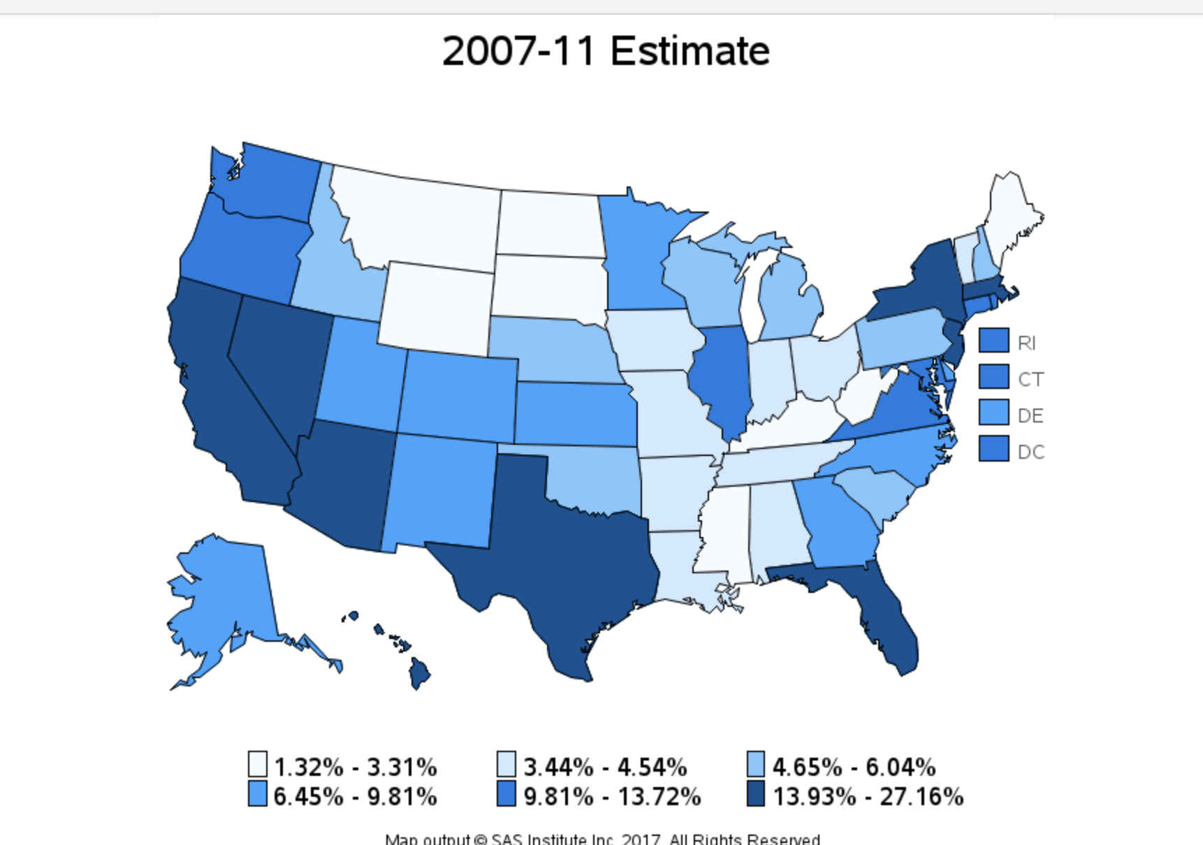
The maps are color-coded, so it is easier for people to notice the differences and statistics.
This tool can be great for kids to learn and explore the world.
Students can learn about interesting statistics like the total population of areas, the number of languages spoken in each area, and the ancestry of the people living there. This tool can inform students about stats they never knew and provide a visual for them.
It is very important for kids to learn about the world they are living in, and these interesting statistics make them more informed about their country and the demographics that make it up.
If I were a teacher, I would let kids explore this tool and ask each other questions about the statistics and demographics. This would improve their ability to read and relay information to others.