As I get deeper into learning all the different tools teachers can use in the classroom, I am amazed at how many there are out there. This week I explored the features of Google My Maps. This fun and interactive tool can be found in Google Drive. Like a few other tools in Google, this one also seems to fly under the radar.
For my first swing at creating my own Google My Maps, I put together a map showing different trails you can hike in Acadia National Park.
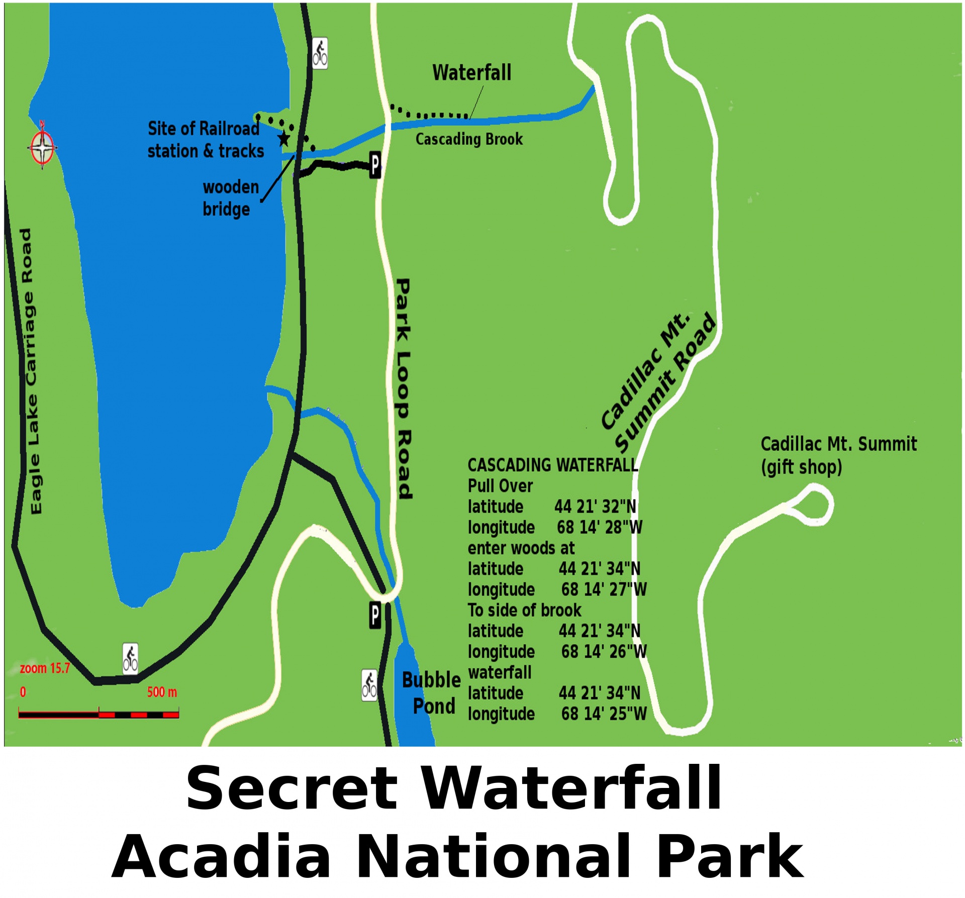
I visited this park for the second year in a row and I wish I knew about this tool before I went. This is mostly because once you get into the park, service for cell phones is almost non-existent. If I had put together a map ahead of time for how to get around the park, I could have used screenshots to better navigate around when we lost service. There are signs within the park directing you but it can get a little confusing.

Within the tool, I was able to add pins to different trails within Acadia National Park. I was able to change the color and picture on the pin to show users the level of difficulty between the hikes ranging in range for the harder ones and green for the easier kid-friendly ones. I was then able to add pictures of each trail as well as a description of what someone can expect from the trail. It was great being able to write what could be considered notes to help organize your thoughts about each location. I love that in our personal lives we can keep these maps to use again and again with details you would want to remember for the next time you venture to that location. You could also send it to family or friends who might want some recommendations for things to do. The ease of use and customization is great for this. Being able to also share the map and allow others to edit can help add even more exciting things to see and do.
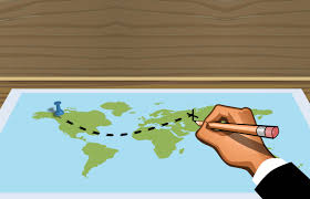
For the classroom, when the world gets back to a more relative normal with field trips, I can see this tool being extremely valuable. A Google My Map can be created in conjunction with a trip itinerary. Doing this ahead of time allows the teacher to stay present with the students instead of spending time looking up directions on Google. This way, all of the navigation routes and places of interest can be pegged to the map to not waste time. It can also be helpful for timing reasons to maximize everything you can see and the relation in location to each other the places are.
Until the time when “normal” returns, this can a tool to use that has many interdisciplinary benefits. Students can create virtual field trips and present the maps to their classmates. Within the tool, students can combine research skills, writing, and geography. Using Google My Maps can be a very creative way to put together information that they have found. They will need all of those skills to make for the most interesting interactive experience.

Do you have any experience using Google My Maps? Let me know of any other suggestions you have for using this in your classroom in the comments section below!