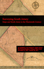
An Exhibition at the Richard E. Bjork Library
The Richard Stockton College of New Jersey
November 27, 2012 – January 20, 2013
When Bill Leap donated his collection of South Jersey material to Stockton in 2007 the job of sorting and cataloging materials promised to take time. Included in this rich collection of Jerseyana was a map entitled Map of the Counties of Salem and Gloucester, New Jersey, published in 1849 by Robert Pearsall Smith of Philadelphia, the so called Smith & Wistar map. Like most maps printed over 150 years ago, it was in poor condition – brittle, yellowing, falling apart. A decision needed to be made: allow the map to languish in Special Collections, to be seen by the few brave souls who venture down there, or restore it to its former condition and display it in the library for all to see. Head to the reference desk and look around. You will find the map, restored and displayed prominently; it is the reason for this exhibition.
Materials have been assembled that provide a brief sense of aspects of life in Salem and Gloucester counties in the mid nineteenth century. The context in which the map was produced, as part of the larger Philadelphia cartographical printing and publishing industry, has also been explained. By elucidating the lithographic process – the technique used to produce the Smith & Wistar map – and by illuminating various cultural and historical aspects of Salem and Gloucester counties, the curators of this exhibition hope to show this map as something more than just an artifact on the wall.
