For this week’s Blog, I was given the opportunity to reflect on something that has stood out to me thus far in the class. I decided to write about Google Maps and Hyperdocs which we introduced to us this past week.
At first, I was when I read that I was going to be using Google Maps I was confused. I wondered how could google maps possibly related to teaching in the classroom. I soon found out that there were many applications.
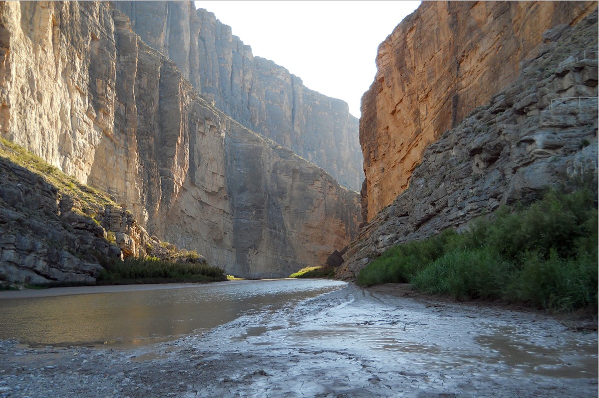
The first application that I noticed was the ability to show students areas that you were talking about. I could design my map exactly the way that I wanted and include the landforms of my choosing. As an environmental teacher, this is very appealing to me as many of the maps found online don’t have all the features that I am looking for.

Another application I found was that I could show my students street views of the locations that I am talking about allowing view the ecosystem like they were there in person. The final application I found with this program is that I can create a map with videos so and share it with my students. By being able to share my work with my students I could make viewing the map a homework assignment. This would give the students the ability to look over what will be discussed in future classes ahead of time and allow me to have more time to help my students in areas that they are struggling in.