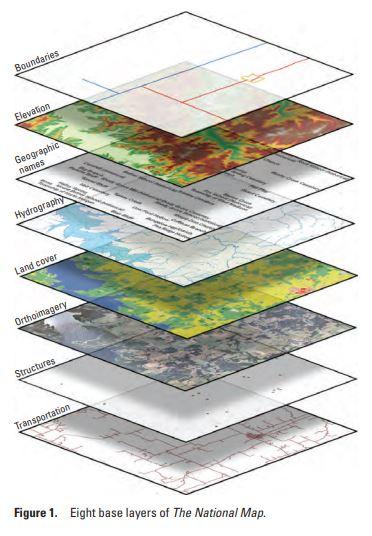
Hello, everyone. I would like to share an infographic of eight base layers of National Map despite the lack of knowledge to thoroughly understand it.
I got it on the website of USGS Science for a changing world https://www.usgs.gov/media/images/8-base-layers-national-map

Details
Image Dimenensions : 372×536
Date Taken: January 2012 ( Approx)
Location Taken: US
Photographer: Sexton, Pamela Ann
Thank you!